What is sea level rise?
Sea level rise happens when temperatures rise because of climate change. Glaciers and ice sheets melt and the sea water expands. This leads to an increase in the level of the oceans.
The City of South San Francisco (SSF) is studying ways to protect the shoreline from the impacts of sea level rise through the SSF Shoreline Study. We will also look at ways to improve connections to and within Oyster Point along the SSF Shoreline. Our goals are to:
This is the first study of its kind in South City and is an important step towards protecting the shoreline infrastructure and residents from future flooding, so the community can enjoy a resilient shoreline for years to come.
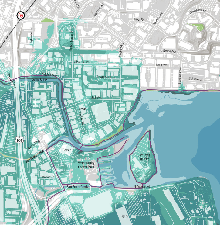
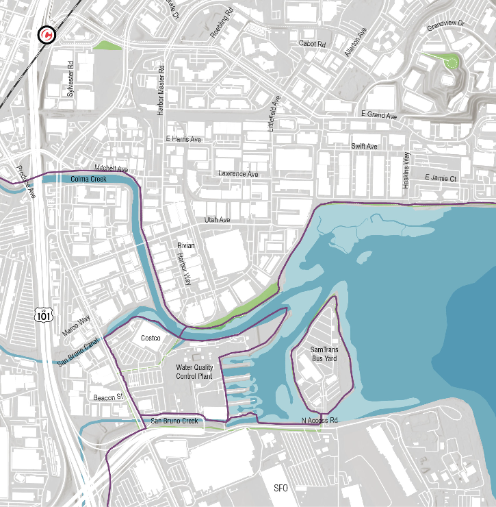
Slide the arrow to the right to see what areas could flood due to various sea level rise scenarios ranging from 0.8 feet to 6.6 feet. [Note: Will need to add legend to map and more details to this intro paragraph regarding SLR scenarios and associated projections.]
Sea level rise happens when temperatures rise because of climate change. Glaciers and ice sheets melt and the sea water expands. This leads to an increase in the level of the oceans.
Sea level rise leads to more flooding, stronger storms surges, erosion, and destruction of shorelines and coastal land.
The shoreline includes many important services, economic industries, and recreation that residents rely on. We want to protect these resources into the future.
Through technical analyses, we will identify locations in the study area that are at risk of being impacted by sea level rise and extrene storm surges. We will then develop different concepts to protect against this flooding, as well as strategies for implementing these concepts. Potential strategies could include physical infrastructure to protect properties and resources from flooding, as well as natural solutions.
There are many factors to consider and we will evaluate physical constraints and financial cost, in addition to ensuring the solutions we propose align with the SSF Shoreline Study goals and community needs.
Through this study, we will evaluate ways to reduce traffic congestion, close gaps in the active transportation network, and improve emergency access. We will recommend options to connect the shoreline to existing transportation systems and make it easier for the community to access key destinations including the shoreline.
You can get involved by signing up for the mailing list, participating in and sharing surveys, and attending virtual and in-person engagement events. Stay tuned for more to come and join the mailing list to receive updates!
Community input will help deepen the project team’s understanding of existing conditions and community values, concerns, priorities, and preferences. This input will be incorporated into the final SSF Shoreline Study and will be shared for the public to review.
![]()
Have questions or want to learn more about ths project, contact us below:
| Name | Audriana Hossfeld |
|---|---|
| Phone | (650) 829-6604 |
| audriana.hossfeld@ssfca.gov |


